Heatmap package
Overview
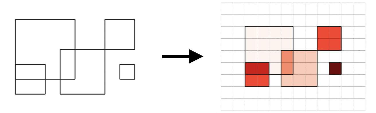
The heatmap package provides multiple methods of producing heatmaps including count, area, and sap.
The sap method is also known as Spatial Access Priority mapping, which takes areas identified as as important, and combines them into a map of spatial access priorities (SAP) This aggregate map is used in area-based planning exercises for identifying where important areas exist and measuring the impact if changes in access are made.
Common questions heatmaps can answer include:
Where are things occurring
Which geographic areas are important to the group? The most important? The least important?
Is area A of more value to the group than area B? How much more?
If the use of a given area is changed, will people be impacted? How much of the groups value is within this area?